Background
Lambeth is one of 14 local authorities which make up Inner London. The Local Plan guides the spatial development of the borough and aims to achieve sustainable economic, social and environmental objectives for the area.
Brief
This was a complex brief that involved updating existing Local Plan maps, and creating new detailed site allocation and site vision maps, before incorporating them into the design and layout of Lambeth’s Site Allocations Development Plan.
Solution
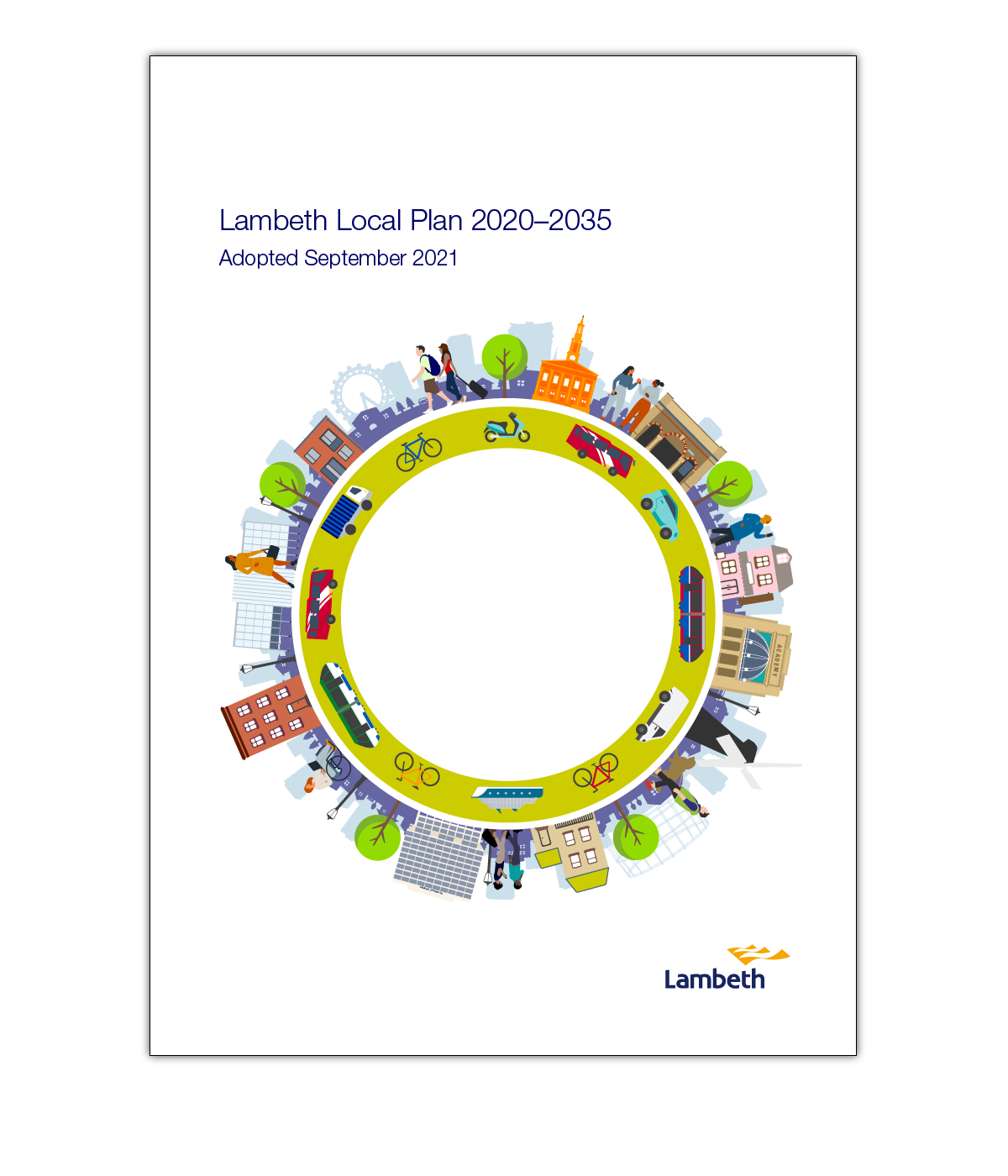
Working from ArcGIS datasets supplied via Lambeth’s Open Mapping portal, I drew up 38 new site maps for the Local Plan. I then designed and typeset the 415pp Local Plan, including the cover illustration incorporating local Lambeth landmarks.
